INDUSTRIAL SERVICES
Advanced Imaging & Inspection Solutions
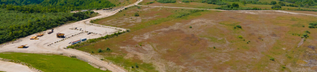
Drones have revolutionized the way industrial inspections and site mapping are conducted. By offering aerial perspectives and high-resolution imaging, drone technology enables faster, safer, and more cost-effective evaluations of structures, mines, and properties. These unique vantage points often reveal details that traditional, in-person examinations cannot access—enhancing accuracy and decision-making across industries.
Our Services Include:
📷 Imaging & Documentation
- Drone photography and videography
- Ground-level photography and videography
- Interior photography for facilities and structures
🛠️ Inspection & Mapping
- Construction progression inspections
- Site mapping (Not available in North Carolina)
- Tower inspections with detailed data collection
- Plant and roof inspections for operational insights
- Quarry and mine mapping for safety and planning
🎨 Post-Production
- Professional editing and color grading services to enhance clarity and presentation